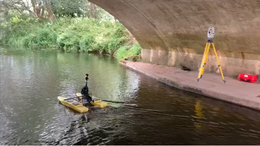
At Encompass Surveys our preferred method of conducting Hydrographical survey’s is utilising a remote control survey boat fitted with echo sounding technology. We then record its position utilising our Total Station’s with an on-board prism or can also utilise our GNSS receiver’s if better suited.
Also referred to as Bathymetric Surveys, when combined with other services Encompass Surveys provide can assist to give you the highest detail of Sub Surface, Water, Land and Aerial data possible.
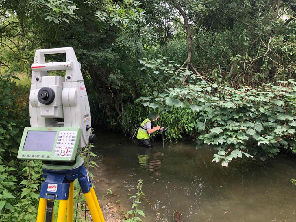
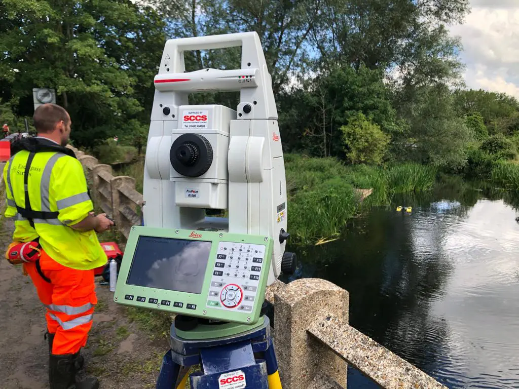
With the growth of development and the potential environmental impact, the surveying of not just the developing areas, but also the surrounding habitats has become essential. Encompass Surveys also has a wealth of experience when it comes to undertaking river surveys and sections. Our highly trained and experienced staff will ensure that the requirements of your specifications are met.